Australia So Much to See
Copyright (C) 2013 AustraliaSoMuchtoSee.com. All reights reserved
Home > Where did we go and what did we see in 2017?
While we are on tour, Australia So Much to See will have only minimal updating. New travelogues and new articles will be added
after we return home. Watch for posts of where we are as we tour this great country of Australia.
This concludes our caravanning trip during which we drove 13,550 kilometres in eleven weeks, seeing a variety of places in Western Australia, South Australia, New South Wales, Queensland and Victoria.
As detailed Travelogues are developed, they will take the place of this series of photographs of places we have visited during 2017.
As detailed Travelogues are developed, they will take the place of this series of photographs of places we have visited during 2017.
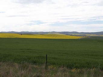
One of the prettiest drives was from Burra to Spalding and on to Crystal Brook. A patchwork of paddock from the green of
wheat, the yellow of ripening crops,and golden canola flowers met the distant ranges.
There are a number of Wind
Farms on range tops, utilising the energy of the sun to provide electricity.
Moving west and onto the Eyre Peninsula, we stopped at a camping area on Point Lowly, near Whyalla.
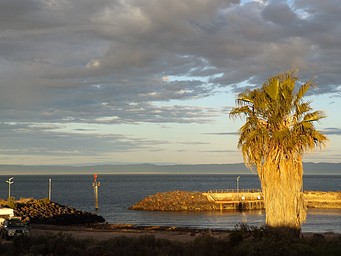
A small marina
allows for safe launching of pleasure boats. The Flinders Ranges across the Spencer Gulf provide a picturesque background, taken
at sunset (above left).
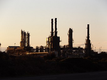
The Santos gas refinery (above right) and export facility at Port Bonython is close to the camping area,
and can be heard all night.
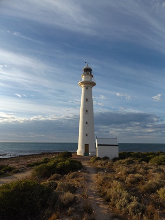
The Point Lowly lighthouse and adjacent lighthouse keeper's cottage are the oldest buildings
in the Whyalla disctrict.
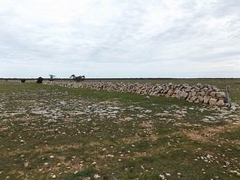
Near Elliston, limestone stones cover the paddocks. In the past, instead of fences, stone walls were constructed.
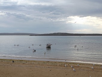
The west coast of the Eyre Peninsula has lovely almost fully enclosed natural harbours. These provide safe anchorage for fishing
boats, large and small.
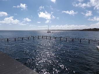
Alongside the fishing boat jetty at Streaky Bay, birds line a shark proof fence, which creates a safe swimming pool.
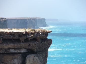
The fragile and crumbling Bunda Cliffs of the Great Australian Bight can only be viewed from three parking areas, where chains define
parking and walkways. The dangers of visitors walking across overhung areas was too great.
We have seen changes
to the shape of the cliffs over the past thirteen years, and parts of the cliffs collapse into the sea below.
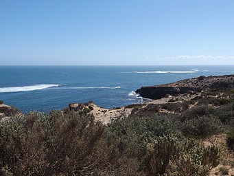
The Cape Bauer drive near Streaky Bay shows the rugged cliffs of the coastline.
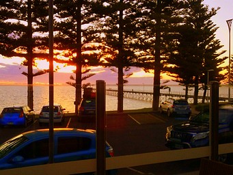
A vivid glowing sunset, taken from the Bistro at the Ceduna Foreshore Motel.
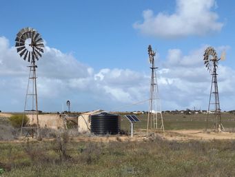
Heading west from Edna, small town of Penong is well known for its windmills, used to tap underground water. Solar pumps are
now taking the place of windmills.
Western Australia
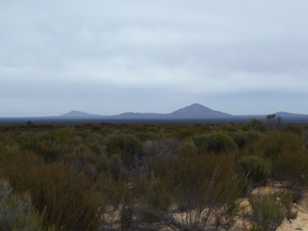
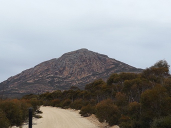
Travelling through Western Australia we visited the majestic Peak Charles in Peak Charles National Park. Wildflowers were magnificent,
and some of these will be added to the Wildflowers of Western Australia pages in due course.
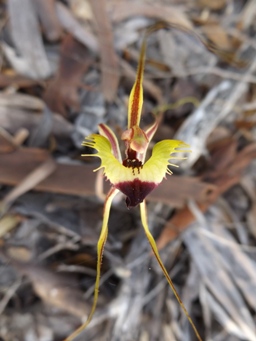
Stopping at a Nature Reserve near Gnowangerup in the Southern Region, I was delighted to find a number of the gorgeous Fringed Mantis,
(Caladenia falcata) amongst the array of wildflowers. This one will certainly appear in Wildflowers of Western Australia.
See our commencing Travelogues here.
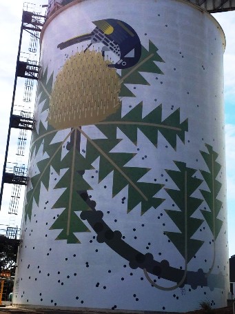
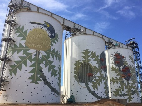
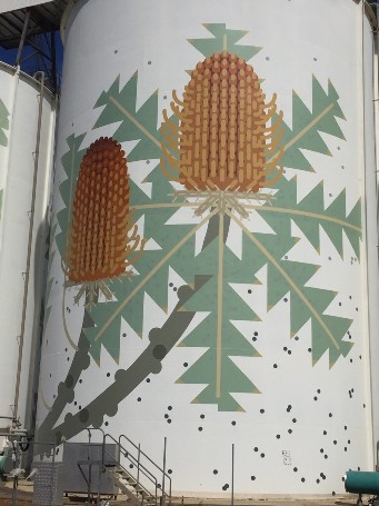
Completed in 2016, these silos at Ravensthorpe are the best know of the Western Australian painted silos, being in full view of the
South Coast Highway through Ravensthorpe.