Australia So Much to See


Mount Olga, the highest peak in the group, was named in 1872 by Ernest Giles, in honour of Queen Olga of Württemberg at the request
of his benefactor Baron Ferdinand von Mueller. Queen Olga and her husband King Karl had marked their 25th wedding anniversary
the previous year by, amongst other things, appointing Ferdinand von Mueller a Baron, and this was his way of repaying the compliment. The highest peak and the surrounding domes became known as The Olgas.
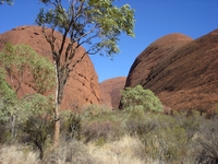
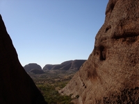
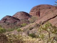
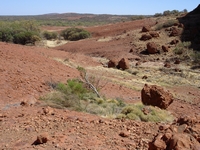
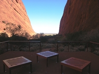
Climbing through a narrow pass between the domes, a vista of the centre of the range and east side domes opened up before us.

The 7.4 kilometre walk weaves through the larger domes, with two climbs which include steps, before coming to an area where most domes
are lower and more spread out. The trail then loops back to join the first section.
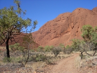
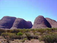
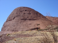
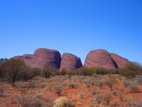
The many headed rock now known by its original name of Kata Tjuta consists of 36 domes spread over an area of 3,500 hectares
with Mount Olga the highest at 1,066 metres above sea level and rising 546 metres above the plains, and has been dated at 500 million
years old.
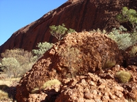
The sandstone here is much coarser than that which forms Uluru, consisting of conglomerate as can be seen in this fragment and alongside
the path on our climb through the domes.
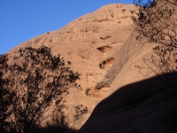
Although very dry at the time, stains remain from when rain cascades down this series of eroded holes.
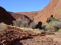
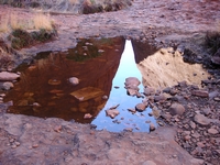
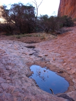
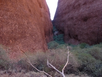
Small pools along the creek line between pockets of vegetation containing rare vegetation.
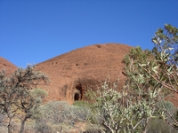
A small cave is visible in the side of a dome.
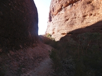
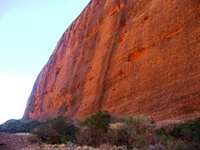
With the steep walls, on side of the narrow valley appears to be always in shadow, as reflected in one of the small pools in the gully.
Once inside the valley, the sun shone on one side which glowed orange, whereas the other side appeared purple.
After the third night in the noisy Yulara camp ground, we were keen to enjoy some quiet solitary camping, and looked forward to heading
out on the
The 2.6 kilometre Walpa Gorge Walk is an easy walk into a narrow valley, also known for high winds between the steep walls, with walpa
meaning windy. It is a partially shaded moisture rich gully, with pools of water and flowering vegetation. This tiny eco-system
within a desert is also home to rare and obscure species of flora and a refuge for native fauna.
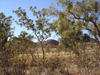
Central Australia 2008. We visit Kata Tjuta (The Olgas), forty kilometres from Uluru and within the Uluru-Kata Tjuta National Park.
