Australia So Much to See
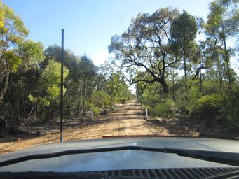
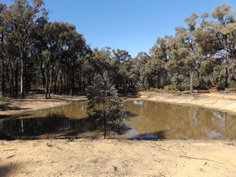
A one kilometre walk from the Salt Caves parking area takes you to the Salt Caves Dam, or you can drive there from Wellyard Road. This is one of many small dams through the forest, and these are important bird sites.
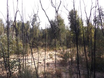
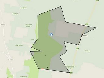
New South Wales - Salt Caves Dam and the history of fires in the Pilliga, Timmallallie National Park, Pilliga Forest
The Pilliga Forest has a history of large fires covering up to 350,000 hectares in one event. Over the last 50 years a large
fire has occurred roughly every ten years and burns average 100,000 hectares each time.
Nearly all fires begin by lightning
strike from dry thunderstorms. Several fires may start and unite to create one big fire.
Fire is a necessary feature of
the Pilliga Forest's ancient ecology. Many plants rely on fire or heat to release their seeds. The flowering spires of
the Grass Trees only appear after burning.
Fire reduces undergrowth, allowing other less dominant plants to grow. Without
fires, the forests would lose their unique biodiversity.
Some of the larger fires in recent times include these, with approximate
hectares burnt before being brought under control.
1951: 350,000 hectares burnt
1997: 140,000 hectares burnt
2006: 160,000 hectares burnt
2018:
58,000 hectares burnt
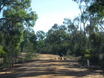
We returned to Baradine from Salt Lake Caves via Wellyard and other forest roads. A family of emus kept up their pace in front
of us on Wellyard Road, before they eventually turned off into the forest.
