Australia So Much to See

New South Wales - Taken with a Grain of Salt? Salt Caves and Lookout Tower, Timmallallie National Park, Pilliga Forest


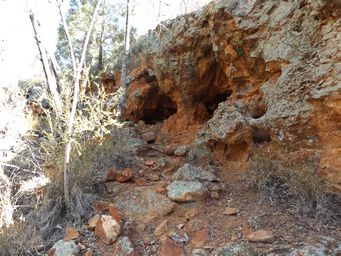

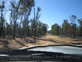
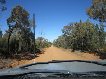


To see the Salt Caves area, from Number One Break Road (above left) turn north onto Rocky Road (above right) then continue from where it terminates via Country Line Road (top of page), for a total distance of around twenty kilometres to the Salt Caves parking area (at right).
The car park and picnic area here is also used for camping, and being an open area, has room for big rigs. There are pit toilets, picnic shelters, water tanks and free gas barbecues. Despite being listed for camping in a number of
publications, it is not listed as camping site on the National Parks NSW website.
# See camping update below
Legend, myth or fact?
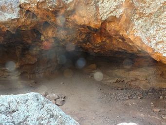
According to legend the Salt Caves were once thirty metres deep, and salt hung in columns like stalactites
from the roof. Wild horses, wild cattle and kangaroos were often seen and local women collected the salt to cure their meat. The
cave system is said to have collapsed in the 1930s and left no sign of salt.
The Salt Caves remain a mystery. Were
the caves one mile long with columns of salt hanging from the ceiling, or did the first settlers to the area only see what we see
today?
The scientific view: In fact the caves are growing. The caves have been formed by the slow grain by grain breakdown
of the sandstone by salt weathering; groundwater carries salt with it when rising up through the sandstone. As the salt becomes
more concentrated, it starts to form crystals which grow in the pores, exerting pressure between the sand grains and causing them
to dislodge and fall off. Eventually after thousands of years, a cavern has been formed.
(Pail Hesse, Macquarie University, 2010)
The
Salt Caves are an important Aboriginal site and are an excellent example of shelters used by the traditional Gamilaroi people (as
above).
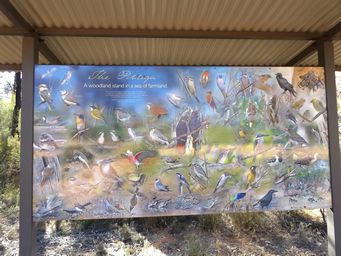
There are information boards about the history of fires in the area, fire lookout towers, birds in the area (at right) and the salt caves.
The first lookout, between 1938 and 1939 was a range finder on a sawn-off pine stump. The first lookout tower
as a timber structure, that stood from 1939 to 1972.
In 1972 a steel fire tower was constructed, but during the 1970s regular
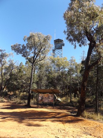
manning of fire towers was discontinued. In 2012 the present tower was constructed, mainly for visitor access.
A short walk takes you to the fire lookout tower which sits in the top the hill where the cave is, has a lightning strike metre, and
it registers many strikes, showing what a lightning strike prone area this is, and why there are so many fires in the eastern Pilliga
forests.
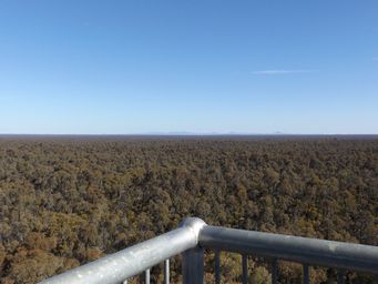
The latest built of several fire lookout towers in the Pilliga, this tower has five flights of steps up to a circular viewing platform. A circular board names key features that can be seen and their coordinates, with Mount Kaputar near Narrabri visible in one direction
(at right) and the Warrumbungle Range in another (below). Two other fire towers are also visible.
As in all New South Wales campgrounds since 2021, they must be booked on line or by phone to National Parks Contact Centre on 1300 072 757. A compulsory $6 booking fee applies. No other fees apply at this campground.