Australia So Much to See

Edna May Gold Mine
Gold and Water
Westonia’s riches lay hidden from prospectors flocking to Coolgardie in the 1890s.
Sandalwood collector
and part time prospector Alfred Weston's 1910 gold find started a rush to the area. Shafts were sunk and companies floated.
But
water flooding underground mines meant men laid off and shares dropping until it was extracted. By July 1915 more water was
flowing Edna May than could be pumped out. The photograph shows piles of timbers used by steam pumps to raise water from the
mine, stacked beside Edna May.
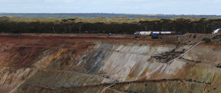
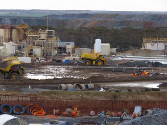
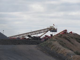
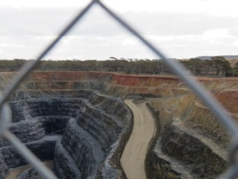
Today the saline water is used in processing and to settle dust.
Ramelius state a 93% recovery of gold from this ore.
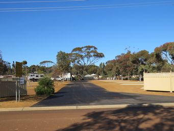
The Westonia Tourist Caravan Park, run by the Shire, is a small and very pleasant well kept park. Book in and pay at the Shire
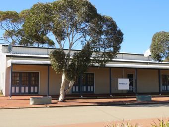
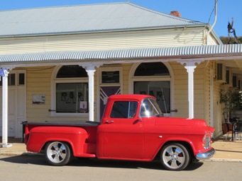
office and entrance to the Hood-Penn Museum. This is hard to find at first, as it is within the shops of the historic façade.
Saint Luke’ church was originally built in 1916 at Naretha, a construction camp for the Trans Australia Railway, approximately
150 kilometres north of Caiguna and 330 kilometres east of Kalgoorlie. When two years later the camp was disbanded, this church
was dismantled and rebuilt at Westonia. Now no longer used as a church, this building has been restored. There is a small
parking area with room for a few fully self contained caravans and motorhomes to stay in front of the church, with a 48 hour limit.
Dump point is out of town at the junction of Galena Street (Boodarockin Road) and The Westonia Carrabin Road, a kilometre to
the north east of the town. There is a roomy parking area, and washdown water at the dump point is provided from a small tank.
For those not camping, the Westonia Tavern has twelve serviced rooms.
There are two cafés in the main street for those
wanting refreshments.
There are no fuel outlets for the public in Westonia, but the Carabbin Roadhouse on the Great Eastern Highway
is only nine kilometres to the south.
In 1911, a month after Alfred Weston made his initial application for four gold mining leases, prospector Edmund John Annear of Burracoppin
made an application for a mining lease three miles south east of Weston's leases at the Boodalin Soak. He established a mine at the
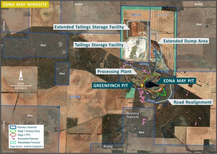
claim one kilometre north of the Westonia Townsite which he named the Edna May after his aunt. The Edna May mine produced 171,000
ounces of gold but by 1922 the mine was forced to close due to problems with underground water and the exhaustion of the high grade
ore supply.
In 1935 mining resumed with around 355,000 ounces produced before the mine closed in 1947. Water was again a problem
as well as labour supply shortages created by the war.
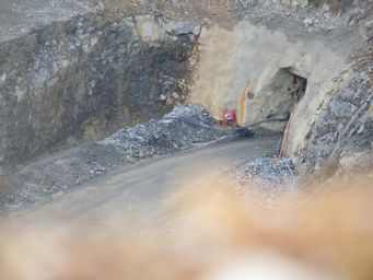
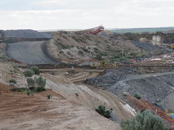
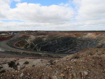
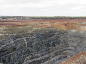
New mining techniques saw the Edna May reopened as an open pit operation
by ACM Gold in 1985. The mine produced 274,000 ounces at an average grade of 1.97 grams of gold per tonne of ore. Underground water
and low ore quality were again factors resulting in the closure of the mine in 1991.
Ramelius Resources currently owns the Edna
May, which has now been operating continuously since 2010, with a series of prior owners including Evolution Mining Limited, Catalpa
Resources Limited and Westonia Mines Limited.
